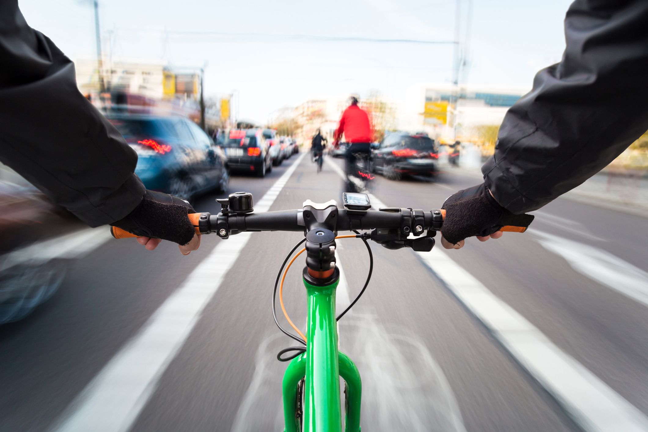
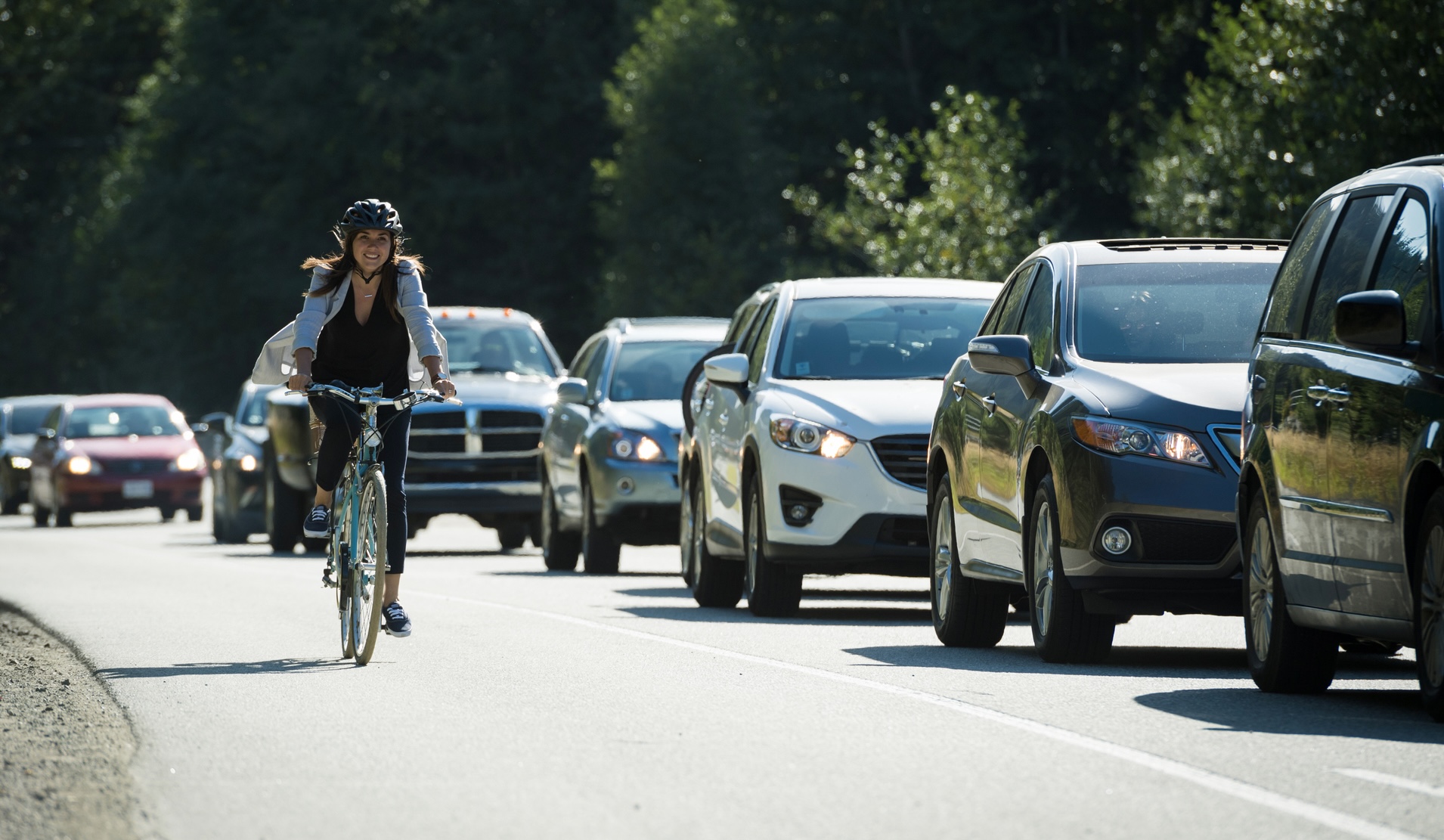
Biking has plenty of benefits — but the thought of riding next to drivers who aren’t always watching the road may prevent some bike owners from taking advantage of the pros. That was the driving force (no pun intended) behind a new system developed by University of Washington researchers that could help cyclists choose the safest routes and assuage their fears of the transportation method in the process.
Current navigation tools, like Google Maps, are fairly limited when it comes to communicating route safety, as they often only log the number of bike-car collisions reported to them. To get this data, actual crashes have to occur, and information about minor collisions that may be useful to bikers isn’t always accessible.
Enter: ProxiCycle, a small sensor in a 3D-printed case that attaches to a bicycle’s handlebars, logs each time a car passes within four feet of it, and sends the data to the cyclist’s phone. “Experienced cyclists have this mental map of which streets are safe and which are unsafe, and I wanted to find a simple way to pass that knowledge down to novice cyclists,” lead author Joseph Breda said in a news release.
The team’s overarching objective is to use the data from the ProxiCycle to “create a map of where it’s safe and not safe to bike,” Breda explained in a video demonstrating the tech. He added, “The real end goal of the project is to create a map like this that some platform like Google Maps would use, so that someone who’s interested can just look it up.”
As part of preliminary research, he and his colleagues surveyed 389 people in Seattle with a range of cycling experience. When asked about factors that would discourage them from biking, participants responded that the threat of cars was the top reason, and said they’d be “very likely” to use a safety map if one were available.
To measure the effectiveness of their newly-developed device — which cost just $25 to build — the scientists then conducted two initial tests: One with cars passing the tool in a parking lot, and another with bikers attaching GoPro cameras to their handlebars and riding through Seattle. Next, they sent 15 cyclists on 240 bike rides throughout the city over a period of two months, logging a total of 2,050 close passes.
After mapping that data, Breda said, “What we found is that in the locations where there have been a higher frequency of historic car crashes in the last five years, when you overlay the map of this five-year historic collisions and the close passes over two months, there’s a lot of places where the signal is pretty much the same.”
The researchers also asked the bikers to rate how safe they felt at different locations after looking at images of the areas, and found a “significant correlation” between the close passes and the spots where the cyclists didn’t feel safe, per the release.
Based on this initial success, the team hopes to scale their tests up, account for more risk factors, and bring ProxiCycle to other cities. “People don’t really feel comfortable getting on a bike and I want to change that,” Breda shared, adding: “Cycling is really good for your health and for the environment. Getting more people biking more often is how we reap those rewards and increase safety in numbers for cyclists on the roads.”
RELATED: The Best Bike Accessories for Cycling in Style